GIS Software Development
Dig up strategic insights even from millions of data points
Automate sensitive data workflows in real time. We build custom systems that handle image, video, and sensor data at scale - from APIs, GIS, and internal tools. 160+ projects delivered.
Our Expertise in GIS Software Development
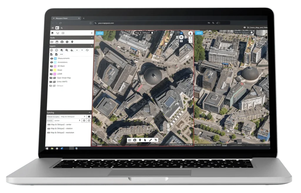
We design and build GIS platforms as operational systems — not just interfaces. From geospatial data pipelines to scalable cloud architecture and map-driven UX, our delivery is built around integration, performance, and long-term maintainability. Every output is execution-ready, aligned with your stack, and structured for real-world use.
Custom GIS Platform Development
We build full-stack spatial systems — from backend data engines and APIs to interactive, map-centric interfaces. Every platform is designed to support real-time use, complex logic, and seamless long-term scalability.
Geospatial Data Engineering
We process, normalize, and pipeline geospatial data — including telemetry, raster, vector, and hybrid formats. This ensures your system can support analytics, modeling, and real-time decisions without bottlenecks.
Cloud-Native Architecture
We design modular, resilient GIS systems using AWS, Azure, or GCP — ready for scale, observability, and cost control. From monolith teardown to microservices and CI/CD pipelines, we modernize without disruption.
UI / UX for Map-Driven Interfaces
We design geospatial UX with clarity, responsiveness, and decision velocity in mind — not just aesthetics. Your users will act faster, see clearer, and interact with spatial layers as a functional system, not visual noise.
ERP, IoT & Internal System Integration
We connect your GIS with ERP systems, CRMs, IoT platforms, and field-level devices to eliminate silos. Whether it’s SCADA, SAP, or a custom logistics stack — we align your frontend with backend complexity.
Modernizing or building GIS platforms requires more than developers
It demands system thinking, domain expertise, and execution without disruption. Whether you’re constrained by outdated tech, planning a new product launch, or struggling to align GIS with your ERP, CRM, or device ecosystem – we step in with architectural clarity, delivery ownership, and interfaces that serve the user, not just the data.
We don’t just build maps. We build operational platforms that move business forward.
Engage us when:
- Your current GIS stack is slow, brittle, or outdated
- You're launching a new product with location intelligence at the core
- You need deep integration - not isolation from your ERP, CRM, or sensors
- Your team needs architecture and execution, not just frontend features
- You need geospatial UX that’s actually usable — and drives action
Unlock Business Impact with Spatial Precision
GIS isn’t just about visualizing data. It’s about enabling faster decisions, tighter coordination, and scalable operations. When built right, your platform becomes an extension of the business itself.
- Architecture clarity – We define the right system structure from the start, avoiding long-term technical debt.
- Real-time performance – Your GIS runs fast, even under heavy load, across devices and use cases.
- Cross-system integration – ERP, CRM, IoT, or SCADA — your platform connects, not isolates.
- Geospatial UX that drives action – We simplify complex spatial flows into usable, high-clarity interfaces.
- Scalability without disruption – Modernized architecture ready for new markets, users, and product layers.
Our clients' trust is our path.
We take great pride in the satisfaction of or clients, as evidence by their glowing feedback.
What our clients says about outcome of the collaboration?
We sent this question directly to our partners
Working with Codeflyers has been a game-changer for us! Their innovative approach and unparalleled technical expertise have propelled our project to new heights. We’re thrilled with the progress and their proactive attitude.
Christoffer Apneseth
CTO at Field
Our collaboration with Codeflyers is a perfect match! Their team is not only competent but also incredibly dedicated. The application is growing stronger, all thanks to their commitment and attention to detail.
Even Reitan
Strategy & Business Development Manager at Telenor
Let’s build your
product together!
We shorten the time from problem to solution, which is why we focus on agile communication and action. We like to get straight to the point, so let’s schedule a free 15-minute consultation. No forms, no waiting.
Speak directly with Radek Lejsza, COO of Codeflyers

Frequently asked questions
Clear answers to the questions we hear most often
What are the benefits of building custom GIS software instead of using off-the-shelf solutions?
Custom GIS software is tailored to your organization’s specific workflows and data sources – for example, integrating IoT sensor data, ERP systems, or spatial databases. It eliminates licensing limits, ensures you pay only for the features you need, and allows you to scale the solution as your operations grow.
What technologies are most commonly used in GIS software development?
Popular technologies include Leaflet.js, OpenLayers, Mapbox GL JS, and CesiumJS (for 3D visualization). On the backend, developers often use Python (Django, FastAPI) or Node.js with spatial databases like PostGIS or GeoServer. For mobile GIS applications, frameworks such as React Native or Flutter are frequently combined with native SDKs like Esri ArcGIS Runtime or Mapbox SDK.
Can GIS software be integrated with other business systems such as ERP, CRM, or production tools?
Yes – integration is one of the key strengths of modern GIS systems. Through APIs (REST, GraphQL) and open standards such as WMS/WFS, spatial data can seamlessly connect with business data. For example, a GIS platform can automatically pull location data from ERP, update asset status in CRM, or analyze performance metrics from production systems.

