
From Static Maps to Smart Mobility
Field operations used to rely on static tools — printed maps, clipboards, manual measurements, and later, desktop-based GIS software that required operators to be behind a desk.
This workflow made sense when most data was collected manually and analyzed days or even weeks later. But the world has changed — and so has the speed at which decisions must be made.
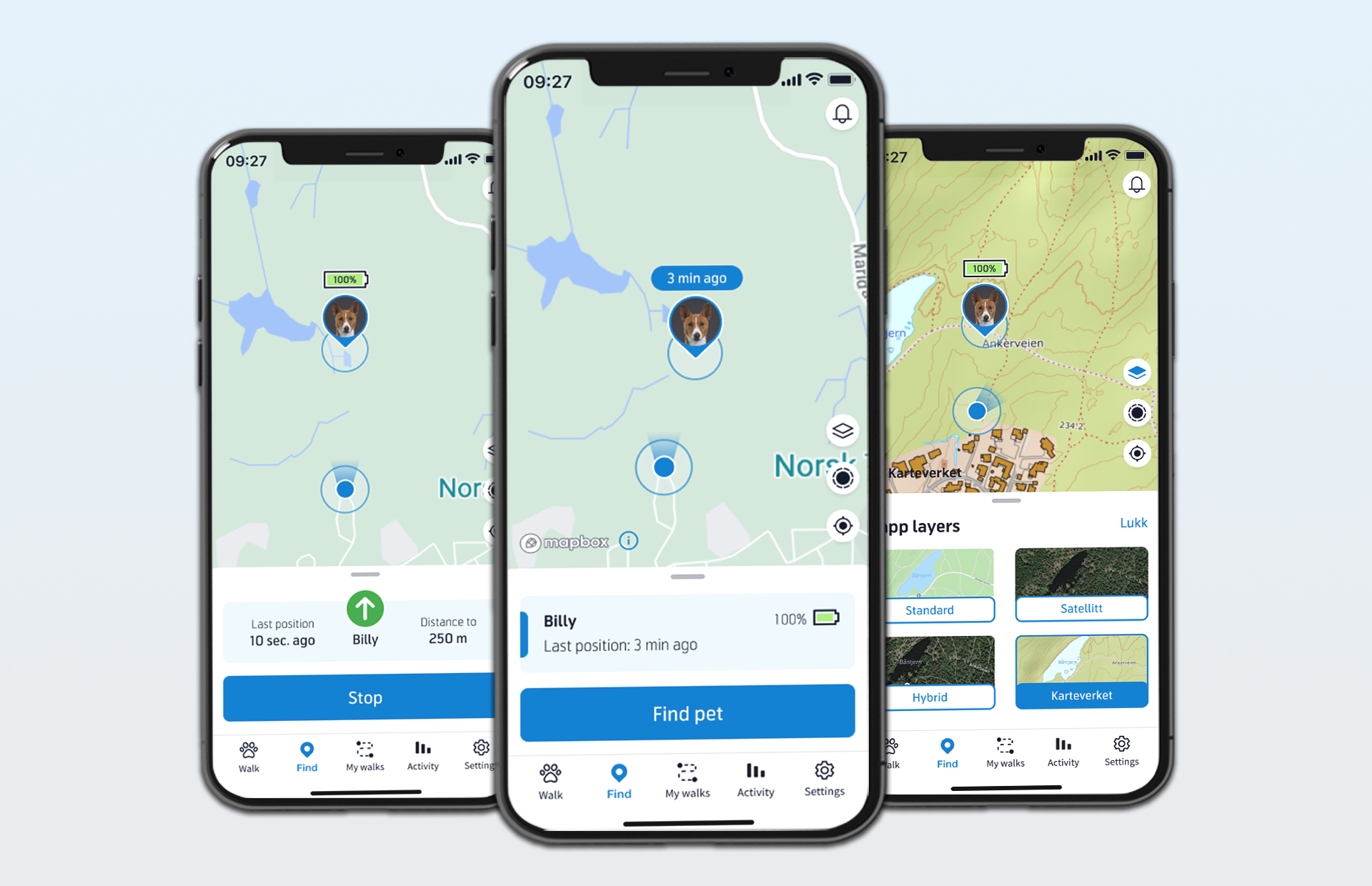
Today, mobile GIS applications are reshaping this landscape. Equipped with smartphones and tablets, field teams can now visualize complex spatial data in real time, capture new data points on-site, and synchronize everything instantly with central systems.
What used to take days — collecting, cleaning, and uploading data — now happens within minutes.
This shift isn’t just technological; it’s cultural. It changes how teams think about geography, data ownership, and responsibility. Instead of being passive data collectors, field workers become active participants in a live information ecosystem — one that constantly evolves as they move.
For industries like utilities, transportation, logistics, or agriculture, this real-time visibility transforms the way they plan, execute, and verify work in the field.
The Power of Real-Time, Location-Based Data
Data has always been the foundation of decision-making. But in field operations, timing and location make all the difference.
When a maintenance crew identifies a fault, a logistics coordinator reroutes a delivery, or an environmental inspector logs a hazard — the ability to see “where” and “when” in one unified view is priceless.
That’s where mobile GIS steps in. By combining geospatial intelligence with real-time communication, organizations gain situational awareness. Every data point is not just a number, but a location-aware event in context: temperature readings along a pipeline, soil moisture across a field, or road conditions after a storm.
Imagine an energy provider responding to a power outage. In the past, they would send crews blindly based on phone reports. Now, with a mobile GIS system, they can see exactly where the fault occurred, view nearby infrastructure layers, and dispatch the closest available technician.
Similarly, municipalities can track waste collection or street maintenance in real time, visualizing progress directly on digital maps instead of relying on daily summaries.
That shift — from reactive to proactive — is the essence of modern field intelligence.
Core Features Driving the Shift
Modern mobile GIS systems combine the flexibility of mobile apps with the analytical depth of enterprise-grade GIS platforms. Several features make this possible:
- Offline Mapping and Data Synchronization
Many field environments — forests, mountains, rural areas — have limited or no network coverage. Offline mode allows users to download relevant map areas and datasets, work autonomously, and synchronize their updates when connectivity returns.
This single capability alone makes mobile GIS invaluable for industries like forestry, mining, and construction. - GPS, GNSS, and Geofencing
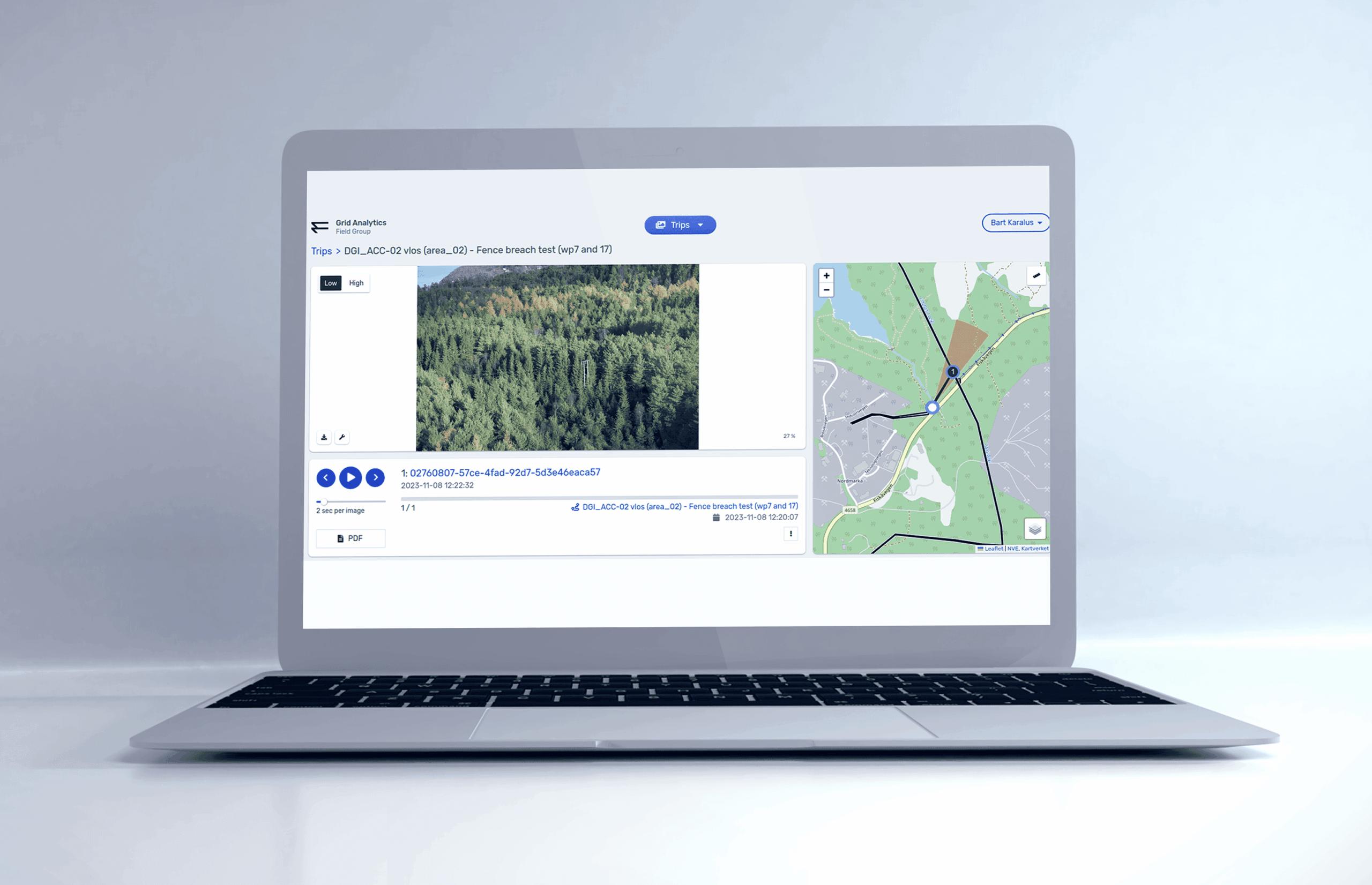
Mobile GIS devices continuously record high-precision location data. Geofencing features can trigger automatic alerts when a team enters or exits a defined zone — e.g., an environmental protection area or a construction site boundary. - IoT Integration and Sensor Data Visualization
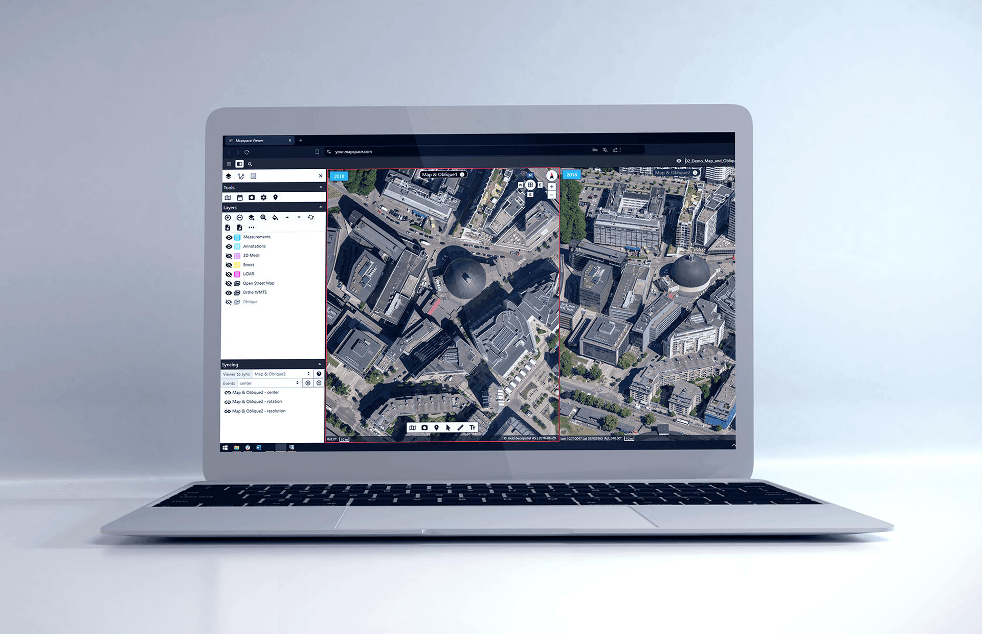
Many organizations combine GIS data with IoT sensor networks — soil sensors, flow meters, energy monitors, or BLE beacons. Integrating these inputs directly into mobile maps allows operators to monitor asset health, detect anomalies, and react quickly. - Field Data Collection and Multimedia Attachments
Field apps often include form builders for structured data capture. Workers can attach photos, videos, voice notes, or 3D scans to specific map points, enriching datasets with visual and contextual evidence. - Cloud Synchronization and Multi-User Collaboration
Every change made in the field — a new measurement, inspection record, or photo — can instantly appear in dashboards at headquarters.
That shared visibility means fewer emails, fewer reporting delays, and a unified source of truth across the organization.
These capabilities don’t just make maps portable — they make them interactive, intelligent, and operationally relevant.
Impact on Field Efficiency and Data Accuracy
For decades, organizations treated field data as something “collected first, processed later.” That time lag often meant decisions were based on outdated information. Mobile GIS eliminates that gap — and the results are tangible.
Field staff no longer need to return to the office to upload or process data. Updates happen in real time, drastically reducing downtime between inspection, analysis, and action.
For example, a telecom maintenance team can document completed work immediately, triggering automated updates in the central asset management system.
Collecting data directly in the field, with GPS precision and mandatory form validation, significantly reduces human error. A location tag and timestamp are automatically embedded in each record, ensuring traceability.
Supervisors gain live dashboards showing which teams are active, where, and on which assets. That transparency helps allocate resources dynamically and verify completed work — eliminating paperwork and guesswork.
Digital field operations also reduce paper use, minimize unnecessary site visits, and lower fuel costs. For large organizations, even small efficiency gains can translate into substantial annual savings.
Mobile GIS isn’t just about mapping — it’s about making every operation measurable, verifiable, and improvable in real time.
Integrating Mobile GIS into the Business Ecosystem
A powerful mobile GIS doesn’t live in isolation. Its true value emerges when it becomes part of the company’s digital backbone.
Field teams, office analysts, and decision-makers often work in different systems — GIS, ERP, CRM, IoT, or document management. Integrating mobile GIS connects these silos.
When a field technician closes a maintenance task, the system can automatically update a service order in SAP or trigger a notification in a CRM like Salesforce.
IoT sensors can push real-time telemetry into GIS layers: temperature, vibration, flow rate, or soil data. Combining this information spatially enables predictive maintenance and risk analysis. For example, identifying areas where multiple sensors show anomalies can help prevent costly equipment failures.
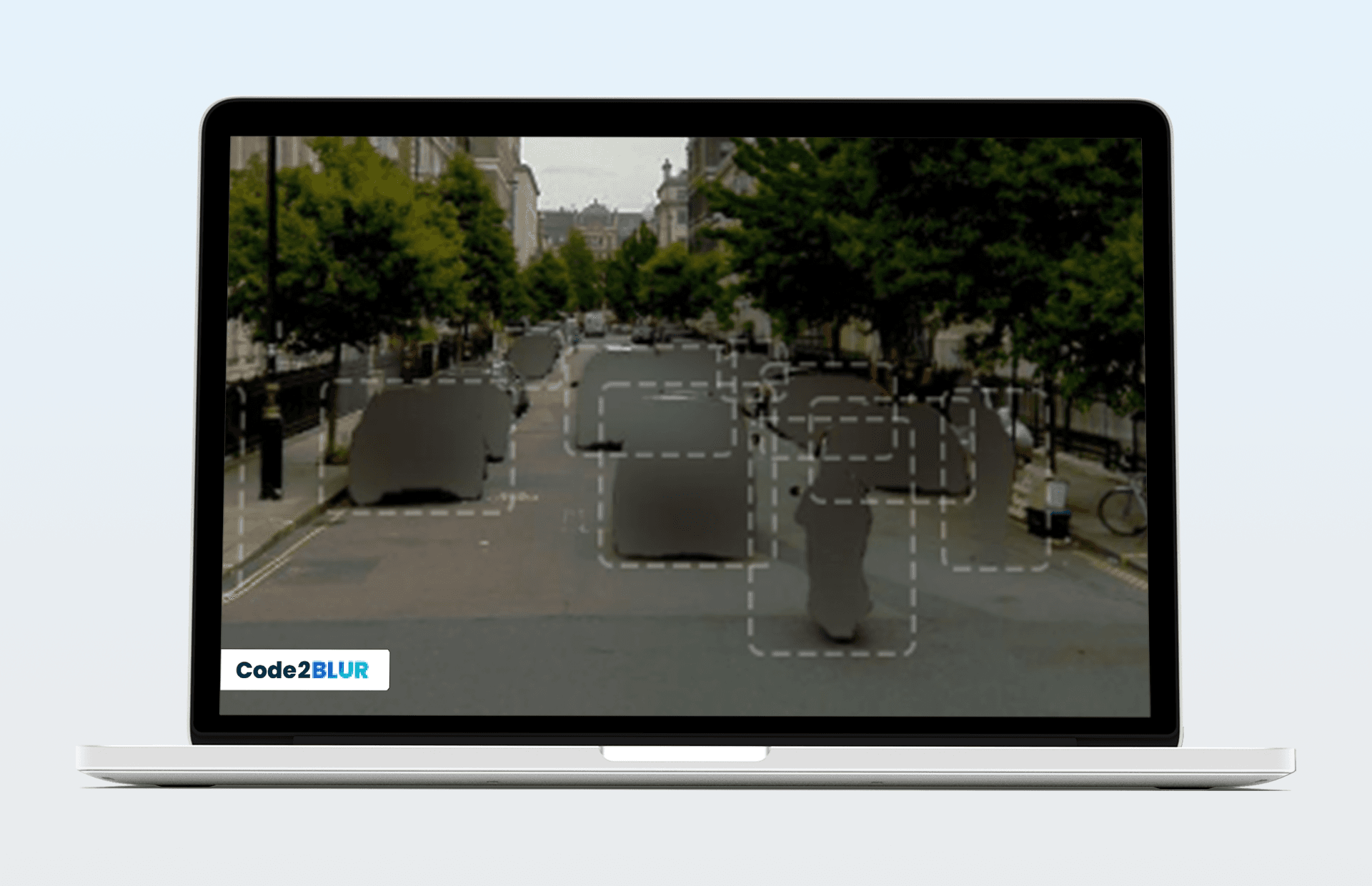
As data moves between systems, ensuring security and compliance becomes crucial. Modern mobile GIS solutions use encrypted communication, role-based access, and audit trails to maintain integrity and meet privacy standards.
When GIS data informs decisions in logistics, resource allocation, or sales, its ROI multiplies. Instead of being a specialized mapping tool, GIS becomes a strategic intelligence layer embedded across the business.
The Future of Field Operations: AI, AR, and Predictive Insights
Mobile GIS is evolving faster than ever — powered by artificial intelligence, augmented reality, and edge computing. The convergence of these technologies is creating the next generation of field intelligence tools.
AI-Powered Insights
AI algorithms can detect patterns invisible to the human eye — from vegetation health in agricultural maps to equipment failure risks in utility grids. Predictive analytics helps organizations move from reactive to preventive maintenance.
For instance, a system can analyze past service logs and environmental factors to predict which transformer is likely to fail next month, allowing preemptive replacement instead of costly emergency repairs.
Augmented Reality (AR) in the Field
AR is redefining how spatial information is consumed. Field engineers can now point their phones or smart glasses at the ground and see underground pipes, cables, or sensor locations overlaid in real time.
This improves safety, speeds up repairs, and minimizes digging errors — especially in utilities and construction sectors.
Edge and Cloud Synergy
Edge computing allows data processing directly on the mobile device or local gateway, reducing latency and dependence on network connectivity. Combined with cloud GIS, this creates a hybrid model: instant on-site analytics with central oversight.
Despite all this technology, the human element remains central. The best mobile GIS tools are those that empower field workers — simplifying their tasks, not complicating them. The future belongs to systems that combine intelligence, usability, and trust.
Conclusion: GIS as the Nervous System of Field Operations
The days of GIS being an isolated mapping tool are over. Today, it acts as the nervous system of modern field operations — connecting people, devices, assets, and decisions through a spatial lens.
Whether it’s monitoring infrastructure, managing natural resources, or optimizing logistics, mobile GIS delivers one essential thing: context.
It tells organizations not just what is happening, but where, when, and why.
As AI, IoT, and cloud ecosystems continue to evolve, mobile GIS will play an even greater role — turning every field operation into a data-driven, adaptive, and intelligent process.
The future of fieldwork is not only digital.
It’s spatially aware, mobile-first, and connected by design.